
In short
- A drone earns its place when it shows something you cannot see from the ground: the plot, the surroundings, access, the view, the distance to the coast.
- Detached houses, villas, land plots, sea view properties and residential complexes benefit the most.
- For a typical city apartment, an aerial shot seldom adds anything useful.
- We only fly where it is permitted and feasible. That depends on the area, the weather, the wind and the rules in force at the time.
- At Akinita Media, drone work is an add-on to a main shoot: +€50 for photos, +€70 for video, excluding 24% VAT.
Which properties benefit from drone footage?
Drone footage pays off where a buyer or tenant needs to understand the position and extent of the property, not just its interior. The more the outdoor space and the location contribute to the price, the more useful the view from above becomes.
- Detached houses and villas: one frame shows the building, the garden, the pool, the parking and how they sit next to neighbouring properties. See also our house photography service.
- Land plots: from the ground, a plot often looks like any other field. From above you can see its shape, its slope, the vegetation and the road that serves it.
- Sea view homes and properties near the coast: an aerial shot shows how close the sea really is and what lies in between.
- Complexes and new developments: a single image conveys the arrangement of the buildings, the shared areas and the neighbourhood.
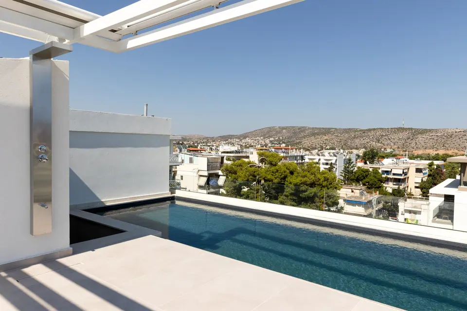
- Penthouses with a large terrace or roof garden: only when the outdoor space is a key selling point of the listing.
When is it usually not needed?
A typical city apartment on a middle floor of a block usually does not need a drone. The shot from above would mostly show rooftops, solar water heaters and the surrounding blocks, which tells the viewer nothing about the apartment itself.
In those cases the budget works harder on solid apartment photography, a short video or a reel. The same goes for ground floor shops in dense urban streets, and for properties where the aerial view would highlight something unattractive without explaining anything useful. If you are unsure, ask yourself one question: what will the viewer learn from this shot that they cannot learn any other way?
What do aerial shots show that ground shots cannot?
They show the property in its setting. A ground-level photo describes rooms, while an aerial photo describes relationships: what is next door, how far things are, and how you get there.
- The plot in general terms: its shape, its extent and where the building sits within it. The image is indicative and never replaces a topographic survey or the title deeds.
- Surroundings: greenery, neighbouring buildings, how densely the area is built, open land.
- Access: the road, the entrance, the parking and the link to main routes.
- Distance to the coast: the viewer sees the route down to the sea instead of reading a vague description.
- Orientation and view: which way the terraces face and what lies in front of them.
Drone photos or drone video?
Photos are enough when you want one or two clear images of the location for the listing. Video is worth adding when you want to show a route and a sense of scale, such as the approach from the road or the path from the house to the sea.
| Drone photos | Drone video | |
|---|---|---|
| What it conveys | Location, plot and view in a fixed frame | Movement, distance, sense of scale |
| Where it is used | Property portals, brochures, websites | Presentation videos, reels, social media |
| Best suited to | Land plots, detached houses, homes with a view | Villas, complexes, seaside properties |
| Add-on price | +€50 | +€70 |
Aerial clips work best when they are woven into a complete property video, as an opening before the interior. On their own, with no footage from inside, they tell only half the story.
What are the practical limits?
A flight is never guaranteed: it happens only where it is allowed and when conditions are safe. That is why we check the area before confirming, and why a drone session can be postponed or dropped altogether.
- Permission and restricted areas: in some parts of Attica flights are prohibited or need special approval, for example near airports and sensitive facilities. The rules in force at the time of the shoot always apply.
- Weather and wind: rain and strong wind, which is common by the sea, cancel or delay the flight.
- Privacy of neighbours: we avoid frames that show other people's faces, gardens and balconies. It is a good idea to let your immediate neighbours know in advance.
- Access and obstacles: cables, tall trees and tight spaces limit the take-off point and the available angles.
If flying is not possible on the day of the appointment, the main shoot goes ahead as planned. You can read more about the process on our drone footage for properties page.
How is drone footage priced as an add-on?
Drone photos cost +€50 and drone video +€70, excluding 24% VAT. Both are offered only as add-ons to a main service, such as HDR photography, and not as a standalone booking.
Here is an example. For a detached house of 151 to 200 m² in the southern suburbs, HDR photography costs €249. With drone photos the total comes to €299, and adding drone video as well brings it to €369, plus VAT. Outside Central and South Athens an area surcharge applies to the main services, for example +12% in East Attica. You can work out your own figure with the calculator in our price list. Files are delivered within 3 working days through a cloud link.
How should you prepare the exterior?
From above everything is visible, including what a camera at ground level never catches. A little preparation the day before makes a real difference to the result.
- Move cars, bins and tools away from the yard and the entrance.
- Mow the lawn and clear dry leaves and branches.
- Clean the pool and remove the cover and any cleaning robot.
- Arrange the garden furniture and open the parasols if it is not windy.
- Tidy the roof and terrace: drying racks, old items, loose materials.
- On a land plot, clear rubble as far as you can and make sure the access is open.
For the interior, follow our guide on how to prepare a property before the shoot.
Frequently asked questions
Can I book drone footage on its own, without a photo shoot?
No. Drone footage is offered only as an add-on to a main service, such as HDR photography or a property video.
What happens if it is windy or raining on the day of the shoot?
The flight is postponed for reasons of safety and quality. The main shoot can go ahead as planned and the drone session is rescheduled where feasible.
Is drone flying allowed everywhere in Attica?
No. In some zones flights are prohibited or need special approval. We check the area before confirming the shoot, based on the rules in force.
Is a drone worth it for an apartment?
Usually not. The exceptions are penthouses with a large terrace, a private roof garden or an open view that is a key selling point of the listing.
Does an aerial photo show the exact boundaries of a plot?
It shows the general picture, the shape and the extent. Exact boundaries come only from a topographic survey and the title deeds, not from a photograph.